Clim@touVert  Interreg walking programme
©

Clim@touVert Interreg walking programme

|

Nolwenn Leurquin

Between the Monts and the Flemish Marshes

 The cross-border walking network is expanding!

“Between the Monts and the Flemish Marshes” Walking-Node Network

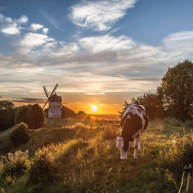
On foot, make the most of the tranquillity of the area and observe the rich diversity of wildlife up close. Put on your walking shoes and set off to explore one of the region’s most beautiful natural settings! With its marshes, hills and unspoilt habitats, this network invites you to immerse yourself in the heart of an exceptional array of flora and fauna.

A new walking network of waypoints Between the Monts and the Flemish Marshes

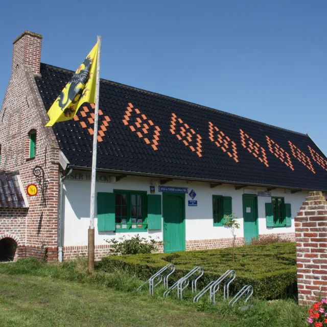
The new ‘Entre Monts et Marais Flamands’ walking route network was officially launched in Nieurlet, at the Auberge de Booneghem.
This inauguration marks a new milestone for walking in Flanders: it is thefirst new walking network created as part of the European Interreg VI Clim@TouVert project, with the aim of making it easier to explore and discover areas on both sides of the border.

Clim@touvert logo
©

Clim@touvert logo

As you wish Plan your walk

Thanks to thenode-based system, anyone can plan their own route, choose the distance and tailor their itinerary to suit their preferences.
From node to node, set off to discover the landscapes ofcross-border Flanders: country lanes, canals, fields, meadows and lakes provide the perfect backdrop for taking your time to walk and explore the area.
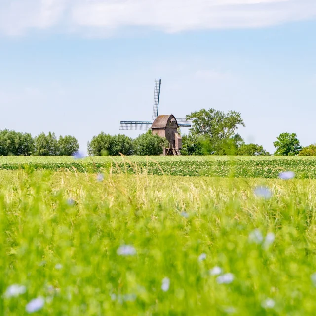
As you walk, Flemish heritage is also revealed:old mills, secluded chapels, charming villages, inns and other local attractionsdot the routes.

How does it work?

  • On a map* (paper or digital), plan your walk by choosing your starting point or ‘Top Départ’.
  • Select the waypoints to create your route
  • Add up the kilometres to work out the distance and duration of the walk. The distances between each waypoint are shown on the mapping tools. On digital tools, the calculation is automatic.
  • Make a note of the numbers or download the GPX track
  • Along the way, follow the red and white signposts
    Using your map or the route planner, you can adjust your route whilst on the move.

Maps of the waypoint network are available free of charge from Terre de Flandre Tourisme.

To access the Nord Department’s route planner: On foot | Nord Evasion (lenord.fr)

A network that transcends borders

One of the great strengths of this network lies in its cross-border nature. For both walkers and cyclists, administrative boundaries naturally fade into the background, giving way to the landscape.

From hills to polders, from meadows to canals, from one village to the next, the networks interconnect, allowing you to continue your journey without worrying about the boundaries between municipalities, counties or countries.

Thanks to a shared approach based on junction points, walking becomes simpler, more intuitive and, above all, more open to the whole of cross-border Flanders.

Interreg Logo: France, Wallonia, Flanders

A collective, European achievement

The creation of the ‘Entre Monts et Marais Flamands’ network is the result of a collaborative effort carried out as part of the Clim@TouVert project, in partnership with the Nord Department, the Hauts de Flandre Community of Communes, Destination Cœur de Flandre, and the various local partners involved in its implementation.

The project is supported by the European Union under the Interreg France-Wallonia-Flanders programme